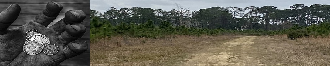
Research and Resources:
A journey of 1000 steps..... starts with research! Regardless if you are new to metal detecting or a seasoned detectorists, Detecting Research is your web site for research, links, resources, and tools to help you expand your knowledge of places to detect. Because of the vast amount of information available on the internet we developed this site to be a starting point for doing research. Remember to book mark us for easy future access!Research....
Where do I start? Everyone asks that question and the answer is..... click here to find out!Believe it or not a good starting point for research is Wikipedia. Start by searching on a county, town or land mark for some information but pay special attention to the blue hyperlinks throughout the web page and the ones at the bottom in the Reference section. All of these blue hyperlinks will bring you to other web sites and information that you can use to dig deeper into the research you are doing. Once you have a starting point with some data you can move on to the 2 keys to finding your next adventure - the 2 keys 1. Data and 2. Maps.
- Use search pages like Wikipedia to get details on what you are searching for.
- Now start with Maps and Aerial Resources to drill down with maps for your search area.
- Once you have gathered data and maps you can use the other resources on Detecting Research to drill down and find that new honey hole!
 Research and Resource link pages are listed alphabetically below, everything from Aerial resources to world related
sites and LIDAR tools! If you have a site or suggestion of a research or resource site that should
be listed please send that information to addme@detectingresearch.com and our webmaster will add it.
Research and Resource link pages are listed alphabetically below, everything from Aerial resources to world related
sites and LIDAR tools! If you have a site or suggestion of a research or resource site that should
be listed please send that information to addme@detectingresearch.com and our webmaster will add it.
Research Web Sites:
- Aerial Resources
You can find a listing of aerial resources that can help your research.
- Article Resources
Here you can find links to Metal Detecting Articles, Tips, Tricks and Reviews.
- Genealogy Resources
Here you will find links to different Genealogy related web sites where you can information and research.
- GIS Mapping
Geographic Information System (GIS) rooted in the science of geography, GIS analyzes spatial location and organizes layers of information into visualizations using maps and 3D scenes.
- Google
Get Google Pro, Earth and maps here.
-
Sanborn Fire maps, a great source of information outlining cities and towns for fire insurance.
Many of the map are from the 1800's and have great details.
- Land Ownership Research and Resources
These links will bring you to web sites where you can research land ownership to find out who to contact if you want to detect a certain area.
- LIDAR
What is LIDAR? LIDAR stands for Light Detection and Ranging, a remote sensing method that uses light in the form of a pulsed laser to measure ranges(variable distances) to the Earth. LIDAR basically strips away the vegetation and generates three-dimensional information about the surface characteristics of an area you want to research.
- Map Tools
Here you can find a listing of the different map tools that are available on the internet.
- Search engines and other tools
Here is a list of search engines and other tools that you can use for research.
- United States Resources
Here are links based upon different stated where you can find state specific information and research.
Detecting Research Home
