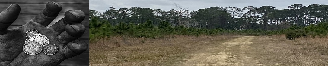
Detecting Resources
LIDAR, (Light Detection and Ranging) Research: Here are links to LIDAR,(Light Detection and Ranging) tools and sites. LIDAR, which stands for Light Detection and
Ranging, is a remote sensing method that uses light in the form of a pulsed laser to measure ranges
(variable distances) to the Earth. These light pulses - combined with other data recorded by the airborne
system - generate precise, three-dimensional information about the shape of the Earth and its surface
characteristics. If you know of a website or social media page about LIDAR please send it to use at
addme@detectingresearch.comwe will add it.
Here are links to LIDAR,(Light Detection and Ranging) tools and sites. LIDAR, which stands for Light Detection and
Ranging, is a remote sensing method that uses light in the form of a pulsed laser to measure ranges
(variable distances) to the Earth. These light pulses - combined with other data recorded by the airborne
system - generate precise, three-dimensional information about the shape of the Earth and its surface
characteristics. If you know of a website or social media page about LIDAR please send it to use at
addme@detectingresearch.comwe will add it.
Light Detection and Ranging:
- LIDAR Finder
LIDAR Finder is a quick tool to see if LIDAR is available in the area you are searching. When you launch LIDAR Finder it will try to position on your location (if you have that feature turned on) then you can slide the satellite view to location you are researching to see if there are any LIDAR over laps available. Europe seems to be leading the world in the use of LIDAR map overlays but the US is quickly catching up. LIDAR Finder
- TUTORIAL - The Basics of LIDAR
Click here for a tutorial on using LIDAR The National Science Foundation.
- LIDAR and NOAA
Click here to learn what is LIDAR by
NOAA.
Click here for a NOAA course, designed for those curious about what LIDAR is and why it is useful to understand the LIDAR landscape.
Click here for a list of LIDAR services and training guides by NOAA.
- Click here for a list of LIDAR tools available from the USGS.
Click here for The National Map Download Client from the USGS.
- Prospecting Geologist
Prospecting Geologist provides LIDAR maps for all your gold prospecting and metal detecting needs. LIDAR maps show you the bare earth ground surface generally with vertical accuracy of 3 feet. With LIDAR maps you can see old stream channels, prospecting pits, trenches, shafts, building foundations, old roads and trails and much more!! Pretty much any type of surface disturbance or feature. Click here to access this excellent resource the Prospecting Geologist and its tools.
**The digital downloads that you purchase here require that you have Google earth downloaded on your computer or smart phone. Without Google earth these files will not be usable.
- The top LIDAR Sites>
Click here for National Lidar Dataset (United States) from Wikipedia
Click here for Open Topography High-Resolution Topography Data and Tools
Click here for Earth Explorer from the USGS
Click here for United States Inter-agency Elevation Inventory information extracted from multiple sources
Click here for NOAA Digital Coast from the NOAA
Click here for National Ecological Observatory Network from the NEON>
- Google Earth Pro
Don't forget to get a copy of Google Earth Pro most LIDAR sites work with Google Earth Pro. It is available for PC (Windows), Mac, and Linux.Download Google Earth Pro for your desk top here.
Detecting Research Home
Happy Detecting!

|
Below are some great tools to help you get more out of you detecting adventures. |
Research Tools: