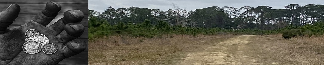
Detecting Resources
Google: Here are links to Google tools that can help you research a new site to detect. Using these with
any of the LIDAR and Topo map services can give you the knowledge you need to discover untouched
detecting sites. If you now of another mapping service that we should add to this website please email it to us a addme@detectingresearch.com
and our web master will add it.
Here are links to Google tools that can help you research a new site to detect. Using these with
any of the LIDAR and Topo map services can give you the knowledge you need to discover untouched
detecting sites. If you now of another mapping service that we should add to this website please email it to us a addme@detectingresearch.com
and our web master will add it.
Google Mapping Services:
- Google Maps
Google Maps is a web mapping service developed by Google. It offers satellite imagery, aerial photography,
street maps, 360° interactive panoramic views of streets, real-time traffic conditions, and route
planning for traveling by foot, car, bicycle, air and public transportation
Google Maps
- Google Earth
Google Earth is a computer program, formerly known as Keyhole EarthViewer, that renders a 3D representation of Earth based primarily on satellite imagery. The program maps the Earth by superimposing satellite images, aerial photography, and GIS data onto a 3D globe, allowing users to see cities and landscapes from various angles.Google Earth
- Google Earth Pro
Google Earth Pro works on you desktop is free and has some advanced feature that are not included with Google Earth or Google Maps. You can import and export GIS data, and go back in time with historical imagery and do map over's. It is available for PC (Windows), Mac, and Linux.
Download Google Earth Pro for your desk top here .
-
Google My Maps
Google My Maps, here is a great resource from Google that lets you create custom maps that you can also share with others. There is allot of power that you can explore and create new places to hunt.
Download Google My Maps here.
Detecting Research Home
Happy Detecting!

|
Below are some great tools to help you get more out of you detecting adventures. |
Research Tools: